Hardy Street
Introduction
The photograph on this page of Hardy Street by John Sutton as part of the Geograph project.
The Geograph project started in 2005 with the aim of publishing, organising and preserving representative images for every square kilometre of Great Britain, Ireland and the Isle of Man.

There are currently over 7.5m images from over 14,400 individuals and you can help contribute to the project by visiting https://www.geograph.org.uk
Hardy Street
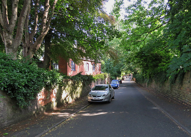
Image: © John Sutton Taken: 21 Jun 2017
Leafy Hardy Street runs parallel to Waterloo Crescent from Southey Street to Mount Hooton Road and serves some of the quite grand detached houses built in the middle years of the nineteenth century as Nottingham expanded beyond its mediaeval core after the 1845 Enclosure Act.
Images are licensed for reuse under creativecommons.org/licenses/by-sa/2.0
Image Location
Latitude
52.962183
Longitude
-1.166555