Brick abutment near Smithy Houses
Introduction
The photograph on this page of Brick abutment near Smithy Houses by Alan Murray-Rust as part of the Geograph project.
The Geograph project started in 2005 with the aim of publishing, organising and preserving representative images for every square kilometre of Great Britain, Ireland and the Isle of Man.

There are currently over 7.5m images from over 14,400 individuals and you can help contribute to the project by visiting https://www.geograph.org.uk
Brick abutment near Smithy Houses
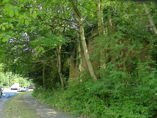
Image: © Alan Murray-Rust Taken: 19 Jun 2017
One of the few relics of the extensive coal and iron industry in the area. It is the remains of a viaduct carrying a colliery railway across the main road and the bottle Brook. It probably ceased to be used in the 1930s.
Images are licensed for reuse under creativecommons.org/licenses/by-sa/2.0
Image Location
Latitude
53.018558
Longitude
-1.42694