Directions and distances signs at a Nottage junction
Introduction
The photograph on this page of Directions and distances signs at a Nottage junction by Jaggery as part of the Geograph project.
The Geograph project started in 2005 with the aim of publishing, organising and preserving representative images for every square kilometre of Great Britain, Ireland and the Isle of Man.

There are currently over 7.5m images from over 14,400 individuals and you can help contribute to the project by visiting https://www.geograph.org.uk
Directions and distances signs at a Nottage junction
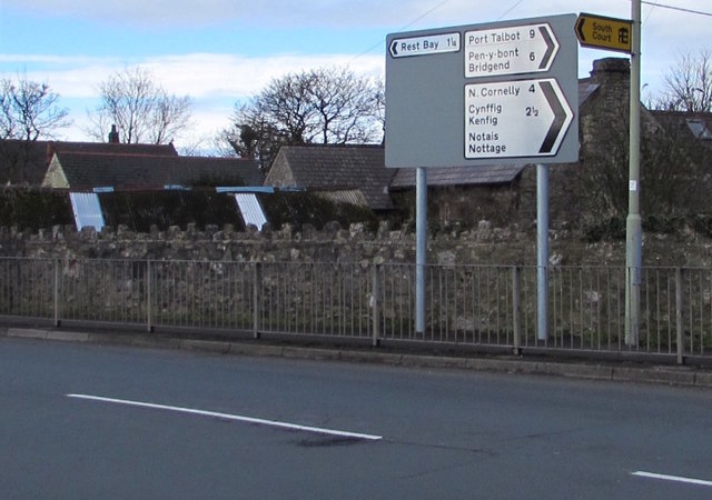
Image: © Jaggery Taken: 4 Mar 2017
Alongside Fulmar Road facing South Road. Welsh and English names are shown for three locations. It appears that there is no Welsh language name for Port Talbot, North Cornelly or Rest Bay.
Images are licensed for reuse under creativecommons.org/licenses/by-sa/2.0
Image Location
Latitude
51.489301
Longitude
-3.702128