Looking across the Borough boundary at Furze House Farm
Introduction
The photograph on this page of Looking across the Borough boundary at Furze House Farm by Marathon as part of the Geograph project.
The Geograph project started in 2005 with the aim of publishing, organising and preserving representative images for every square kilometre of Great Britain, Ireland and the Isle of Man.

There are currently over 7.5m images from over 14,400 individuals and you can help contribute to the project by visiting https://www.geograph.org.uk
Looking across the Borough boundary at Furze House Farm
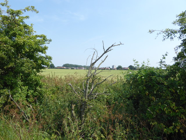
Image: © Marathon Taken: 21 Jun 2017
Furze House Farm is the last remnant in Barking & Dagenham of the agricultural landscape which predominated until the 1920s. Although the fields here serve as a reminder of how most of Barking & Dagenham once looked, this particular farmland is of relatively recent origin. In the early 19th century this land lay within Hainault Forest. The name 'Furze House' refers to the heathy nature of the Forest, furze being an old name for gorse. It was only after the removal of the Forest's legal protection in 1851 that this area was turned over to agricultural use. The area of open countryside here in the north of Barking & Dagenham and stretching into Redbridge was reduced to the current extent around 1960 when the Marks Gate housing estate to the south was completed. This hedgerow actually forms the Borough boundary, this side being in Redbridge and the other side in Barking & Dagenham. The houses on the other side of Billet Road can be seen in the distance. Billet Road is a classic example of how the Green Belt works. To the south is the estate of Marks Gate while across the road here is open countryside. This Green Belt land belongs to Furze House Farm, which is close to Whalebone Lane North.
Images are licensed for reuse under creativecommons.org/licenses/by-sa/2.0
Image Location
Latitude
51.589916
Longitude
0.132435