Stopham Bridge
Introduction
The photograph on this page of Stopham Bridge by Colin Smith as part of the Geograph project.
The Geograph project started in 2005 with the aim of publishing, organising and preserving representative images for every square kilometre of Great Britain, Ireland and the Isle of Man.

There are currently over 7.5m images from over 14,400 individuals and you can help contribute to the project by visiting https://www.geograph.org.uk
Stopham Bridge
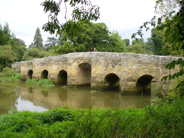
Image: © Colin Smith Taken: 1 Sep 2007
Seven-arched bridge over the Arun, built by the Barttelots in the 14th Century. The central arch was raised in 1822 so barge traffic on the Wey-Arun Navigation could pass.
Images are licensed for reuse under creativecommons.org/licenses/by-sa/2.0
Image Location
Latitude
50.955398
Longitude
-0.535913