End of Tremorfa road hump area sign, Cardiff
Introduction
The photograph on this page of End of Tremorfa road hump area sign, Cardiff by Jaggery as part of the Geograph project.
The Geograph project started in 2005 with the aim of publishing, organising and preserving representative images for every square kilometre of Great Britain, Ireland and the Isle of Man.

There are currently over 7.5m images from over 14,400 individuals and you can help contribute to the project by visiting https://www.geograph.org.uk
End of Tremorfa road hump area sign, Cardiff
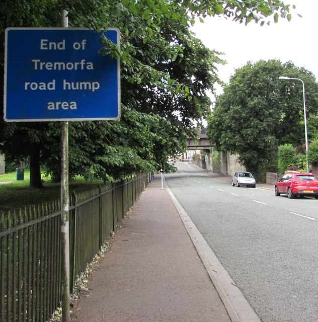
Image: © Jaggery Taken: 16 Jun 2017
The sign is alongside Muirton Road at railings at the edge of Splott Park. The Splott road hump area begins a short distance ahead.
Images are licensed for reuse under creativecommons.org/licenses/by-sa/2.0
Image Location


Leaflet Map data © OpenStreetMap
Latitude
51.486083
Longitude
-3.145053