From track to footpath
Introduction
The photograph on this page of From track to footpath by Michael Dibb as part of the Geograph project.
The Geograph project started in 2005 with the aim of publishing, organising and preserving representative images for every square kilometre of Great Britain, Ireland and the Isle of Man.

There are currently over 7.5m images from over 14,400 individuals and you can help contribute to the project by visiting https://www.geograph.org.uk
From track to footpath
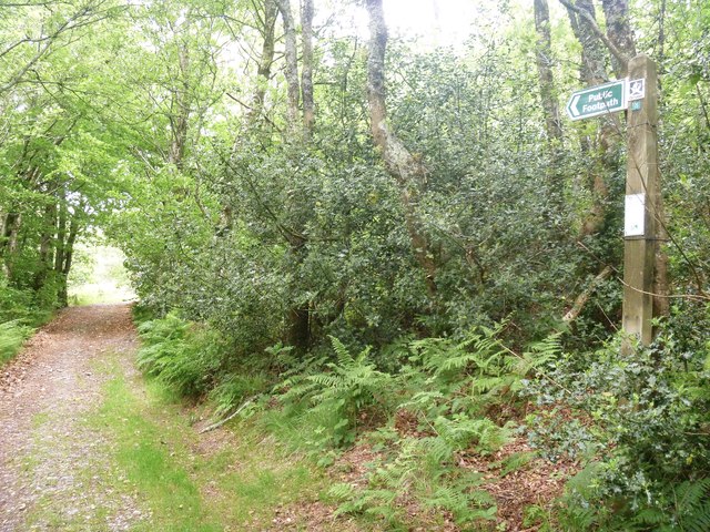
Image: © Michael Dibb Taken: 30 May 2017
Where the track, Towerhill Lane, reaches the boundary of Ideford Common, it becomes a public footpath. The notice on the post advises that the path has been statutorily diverted - probably away from Rixford Manor.
Images are licensed for reuse under creativecommons.org/licenses/by-sa/2.0
Image Location
Latitude
50.592161
Longitude
-3.553985