Former Great Northern Railway in Lower Soothill
Introduction
The photograph on this page of Former Great Northern Railway in Lower Soothill by Bobby Clegg as part of the Geograph project.
The Geograph project started in 2005 with the aim of publishing, organising and preserving representative images for every square kilometre of Great Britain, Ireland and the Isle of Man.

There are currently over 7.5m images from over 14,400 individuals and you can help contribute to the project by visiting https://www.geograph.org.uk
Former Great Northern Railway in Lower Soothill
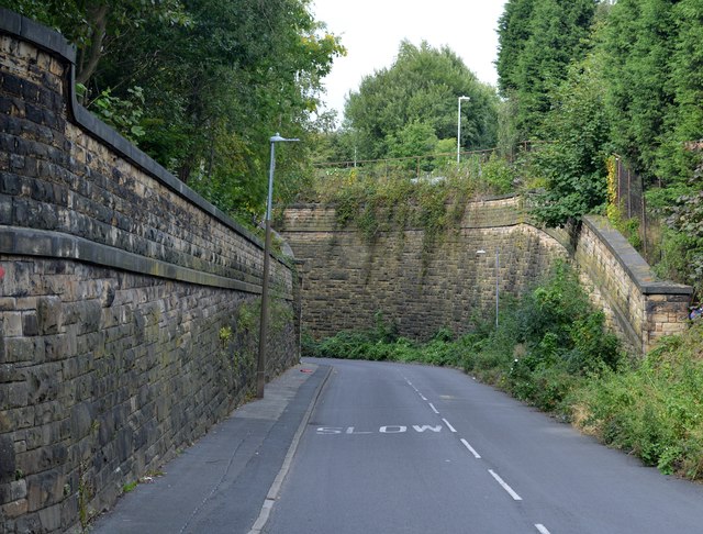
Image: © Bobby Clegg Taken: 13 Sep 2015
The canyon like retaining walls and bridge abutments still remain where the Batley to Beeston via Woodkirk Railway crossed Lady Ann Road north of West Street. The route was decommissioned completely in 1953 and few examples of the infrastructure now remain. This is one of them.
Images are licensed for reuse under creativecommons.org/licenses/by-sa/2.0
Image Location
Latitude
53.713536
Longitude
-1.623148