Cotehele Drive, Paignton
Introduction
The photograph on this page of Cotehele Drive, Paignton by Derek Harper as part of the Geograph project.
The Geograph project started in 2005 with the aim of publishing, organising and preserving representative images for every square kilometre of Great Britain, Ireland and the Isle of Man.

There are currently over 7.5m images from over 14,400 individuals and you can help contribute to the project by visiting https://www.geograph.org.uk
Cotehele Drive, Paignton
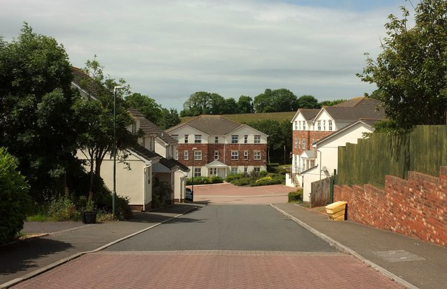
Image: © Derek Harper Taken: 16 Jun 2017
Cotehele Drive is one of the main routes through this "National Trust" estate. I say "National Trust" because the road names all have some reference to NT properties or people, as far as I can tell.
Images are licensed for reuse under creativecommons.org/licenses/by-sa/2.0
Image Location
Latitude
50.441963
Longitude
-3.594268