Union Street block
Introduction
The photograph on this page of Union Street block by Bill Harrison as part of the Geograph project.
The Geograph project started in 2005 with the aim of publishing, organising and preserving representative images for every square kilometre of Great Britain, Ireland and the Isle of Man.

There are currently over 7.5m images from over 14,400 individuals and you can help contribute to the project by visiting https://www.geograph.org.uk
Union Street block
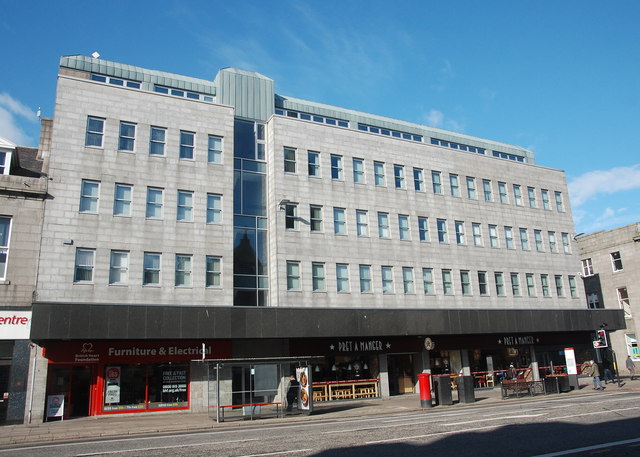
Image: © Bill Harrison Taken: 12 Mar 2017
Probably dating from the 1960s and making a decent effort to blend in with its mid-19th Century granite neighbours.
Images are licensed for reuse under creativecommons.org/licenses/by-sa/2.0
Image Location
Latitude
57.144396
Longitude
-2.107561