Boundary marker on Gisburn Old Road
Introduction
The photograph on this page of Boundary marker on Gisburn Old Road by Dr Neil Clifton as part of the Geograph project.
The Geograph project started in 2005 with the aim of publishing, organising and preserving representative images for every square kilometre of Great Britain, Ireland and the Isle of Man.

There are currently over 7.5m images from over 14,400 individuals and you can help contribute to the project by visiting https://www.geograph.org.uk
Boundary marker on Gisburn Old Road
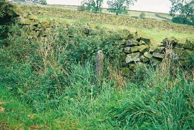
Image: © Dr Neil Clifton Taken: 8 Sep 2002
This insubstantial pillar marks the boundary between the parishes of Barnoldswick and Salterforth in the West Riding of Yorkshire
Images are licensed for reuse under creativecommons.org/licenses/by-sa/2.0
Image Location


Leaflet Map data © OpenStreetMap
Latitude
53.880324
Longitude
-2.202278