Central Park, Harold Hill
Introduction
The photograph on this page of Central Park, Harold Hill by Marathon as part of the Geograph project.
The Geograph project started in 2005 with the aim of publishing, organising and preserving representative images for every square kilometre of Great Britain, Ireland and the Isle of Man.

There are currently over 7.5m images from over 14,400 individuals and you can help contribute to the project by visiting https://www.geograph.org.uk
Central Park, Harold Hill
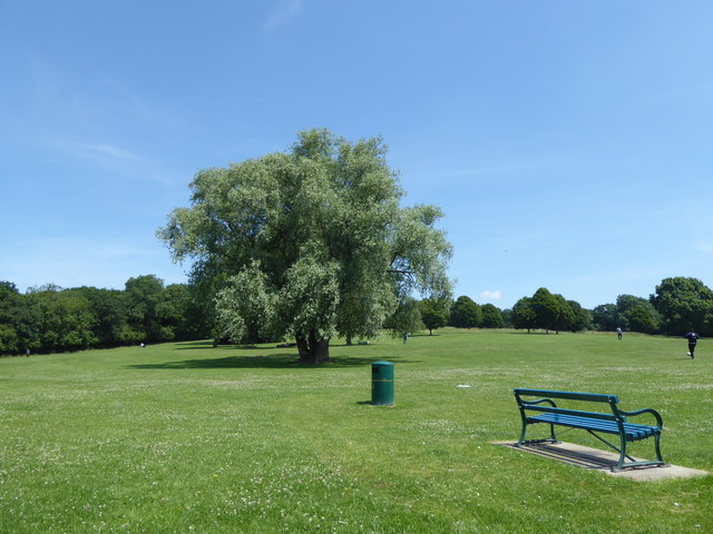
Image: © Marathon Taken: 14 Jun 2017
Central Park is found in Gooshayes Ward of Harold Hill. The name probably comes from Geoffrey Goshaye who cleared the woodland and enclosed the new arable land in the late 12th century. The literal meaning of Gooshayes is 'goose enclosure'. The house at Gooshayes was rebuilt during the reign of Charles II. In front of the brick-built manor house lay terraced gardens, at the bottom of which were two horse-shoe ponds which were medieval in origin. Beyond the ponds ran Payne's Brook. By the late 18th century, the original manor house was in ruins, replaced by a Georgian farmhouse, partly constructed from the remains. All that remained of the house in 1800 were the foundations, the terraced garden and the two fishponds. After the Second World War the farmhouse and the barn were to have been preserved. The 18th century barn, having been described as "the largest of its type in Essex", suffered the elements, neglect and constant attack by vandals, and was destroyed by fire in 1958. The farm's final use was as a community centre but was demolished in 1961.
Images are licensed for reuse under creativecommons.org/licenses/by-sa/2.0
Image Location
Latitude
51.606805
Longitude
0.230135