Approaching site of former Johnstown & Hafod station, 1999
Introduction
The photograph on this page of Approaching site of former Johnstown & Hafod station, 1999 by Ben Brooksbank as part of the Geograph project.
The Geograph project started in 2005 with the aim of publishing, organising and preserving representative images for every square kilometre of Great Britain, Ireland and the Isle of Man.

There are currently over 7.5m images from over 14,400 individuals and you can help contribute to the project by visiting https://www.geograph.org.uk
Approaching site of former Johnstown & Hafod station, 1999
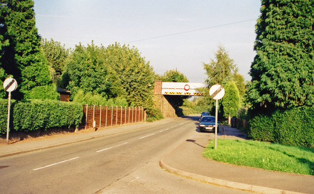
Image: © Ben Brooksbank Taken: 6 Sep 1999
View east on Bangor Road towards Hafod. The station had been on the right, but closed 12/9/60; ex-GWR Shrewsbury - Chester main line. (Cf. Image).
Images are licensed for reuse under creativecommons.org/licenses/by-sa/2.0
Image Location


Leaflet Map data © OpenStreetMap
Latitude
53.00617
Longitude
-3.035252