Thatched house, Burlestone
Introduction
The photograph on this page of Thatched house, Burlestone by Derek Harper as part of the Geograph project.
The Geograph project started in 2005 with the aim of publishing, organising and preserving representative images for every square kilometre of Great Britain, Ireland and the Isle of Man.

There are currently over 7.5m images from over 14,400 individuals and you can help contribute to the project by visiting https://www.geograph.org.uk
Thatched house, Burlestone
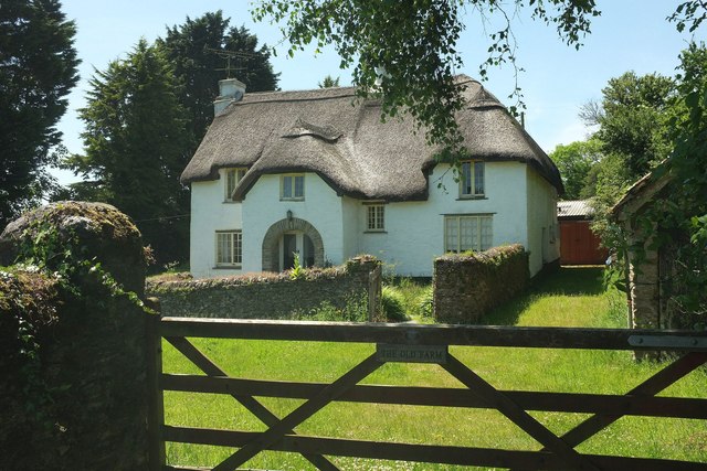
Image: © Derek Harper Taken: 13 Jun 2017
The Old Farmhouse, also shown in Image is "Circa early to mid C17 extended in circa C18" https://www.historicengland.org.uk/listing/the-list/list-entry/1325180 (a detailed historical description which also includes the garden wall).
Images are licensed for reuse under creativecommons.org/licenses/by-sa/2.0
Image Location


Leaflet Map data © OpenStreetMap
Latitude
50.324322
Longitude
-3.652282