Junction at Banc y Bettws
Introduction
The photograph on this page of Junction at Banc y Bettws by Richard Law as part of the Geograph project.
The Geograph project started in 2005 with the aim of publishing, organising and preserving representative images for every square kilometre of Great Britain, Ireland and the Isle of Man.

There are currently over 7.5m images from over 14,400 individuals and you can help contribute to the project by visiting https://www.geograph.org.uk
Junction at Banc y Bettws
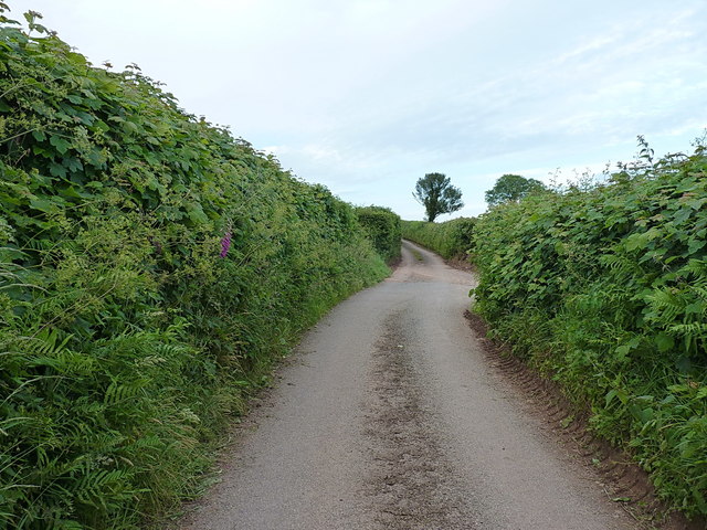
Image: © Richard Law Taken: 1 Jun 2017
The unadopted track leads towards Tygwyn farm, whilst the road to the right drops down past smallholdings towards Llangyndeyrn.
Images are licensed for reuse under creativecommons.org/licenses/by-sa/2.0
Image Location
Latitude
51.816743
Longitude
-4.241264