Toppesfield Bridge
Introduction
The photograph on this page of Toppesfield Bridge by Chris Holifield as part of the Geograph project.
The Geograph project started in 2005 with the aim of publishing, organising and preserving representative images for every square kilometre of Great Britain, Ireland and the Isle of Man.

There are currently over 7.5m images from over 14,400 individuals and you can help contribute to the project by visiting https://www.geograph.org.uk
Toppesfield Bridge
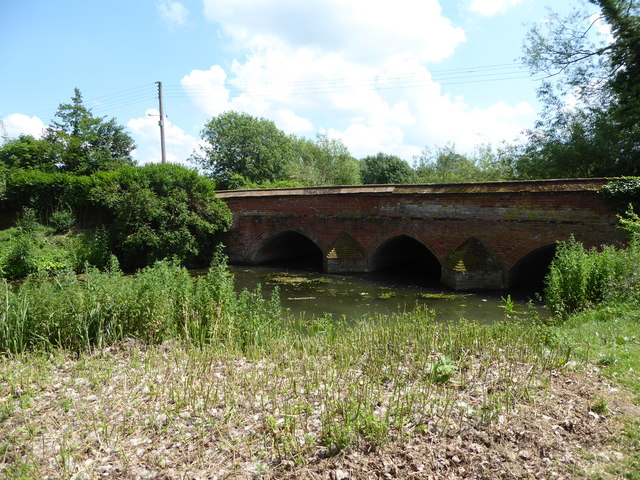
Image: © Chris Holifield Taken: 18 Jun 2017
A medieval three span bridge over the river Brett. It probably dates from the 14th century. It is built with stone blocks with pointed arches with spans of 3 m. (10 ft.). In 1750 the stone arches were extended with brick-work on the upstream side. http://www.transporttrust.com/heritage-sites/heritage-detail/toppesfield-bridge-hadleigh
Images are licensed for reuse under creativecommons.org/licenses/by-sa/2.0
Image Location
Latitude
52.040906
Longitude
0.952252