Ingestre station (site/remains), 2004
Introduction
The photograph on this page of Ingestre station (site/remains), 2004 by Ben Brooksbank as part of the Geograph project.
The Geograph project started in 2005 with the aim of publishing, organising and preserving representative images for every square kilometre of Great Britain, Ireland and the Isle of Man.

There are currently over 7.5m images from over 14,400 individuals and you can help contribute to the project by visiting https://www.geograph.org.uk
Ingestre station (site/remains), 2004
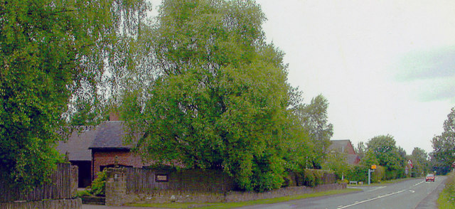
Image: © Ben Brooksbank Taken: 27 Jun 2004
View west on Green Road, the station having been on the left of a level-crossing: Stafford left, Uttoxeter right; Stafford extension from Uttoxeter of ex-GNR line from Derby - the extreme westward penetration of the Great Northern. The station and line were closed 4/12/39, but for goods was retained as far as Stafford Common until 5/3/51, to serve a major WD base.
Images are licensed for reuse under creativecommons.org/licenses/by-sa/2.0
Image Location
Latitude
52.83763
Longitude
-2.032765