South along Pantybrad, Llantrisant
Introduction
The photograph on this page of South along Pantybrad, Llantrisant by Jaggery as part of the Geograph project.
The Geograph project started in 2005 with the aim of publishing, organising and preserving representative images for every square kilometre of Great Britain, Ireland and the Isle of Man.

There are currently over 7.5m images from over 14,400 individuals and you can help contribute to the project by visiting https://www.geograph.org.uk
South along Pantybrad, Llantrisant
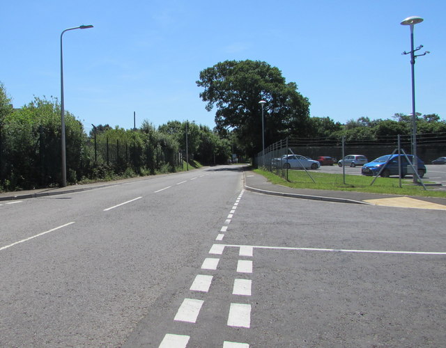
Image: © Jaggery Taken: 17 Jun 2017
Looking towards the Heol-y-Sarn junction. The right turn is for the Royal Mint car and coach park. http://www.geograph.org.uk/photo/5432130
Images are licensed for reuse under creativecommons.org/licenses/by-sa/2.0
Image Location
Latitude
51.553549
Longitude
-3.384452