North along Pantybrad, Llantrisant
Introduction
The photograph on this page of North along Pantybrad, Llantrisant by Jaggery as part of the Geograph project.
The Geograph project started in 2005 with the aim of publishing, organising and preserving representative images for every square kilometre of Great Britain, Ireland and the Isle of Man.

There are currently over 7.5m images from over 14,400 individuals and you can help contribute to the project by visiting https://www.geograph.org.uk
North along Pantybrad, Llantrisant
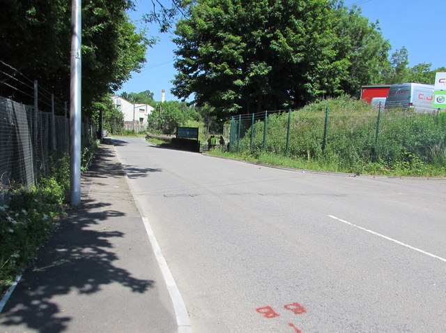
Image: © Jaggery Taken: 17 Jun 2017
Pantybrad crosses the brook Nant Muchudd near the small group of people in the middle distance. The northeast edge of the Royal Mint site is in the background. The Bird Transport site is on the right. http://www.geograph.org.uk/photo/5432118
Images are licensed for reuse under creativecommons.org/licenses/by-sa/2.0
Image Location
Latitude
51.55516
Longitude
-3.385078