The Top House
Introduction
The photograph on this page of The Top House by Chris Heaton as part of the Geograph project.
The Geograph project started in 2005 with the aim of publishing, organising and preserving representative images for every square kilometre of Great Britain, Ireland and the Isle of Man.

There are currently over 7.5m images from over 14,400 individuals and you can help contribute to the project by visiting https://www.geograph.org.uk
The Top House
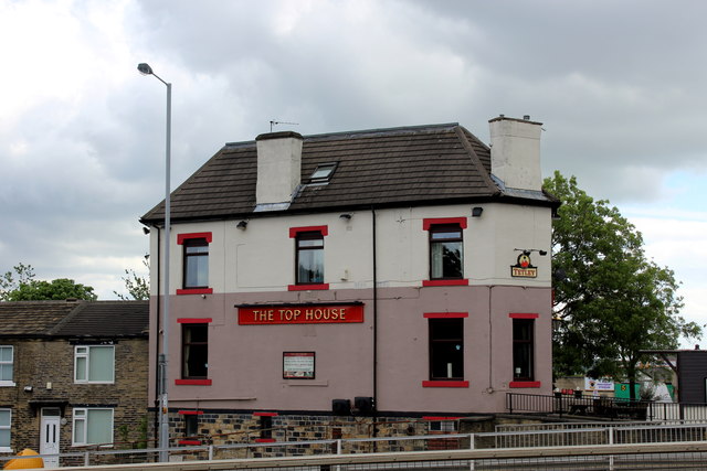
Image: © Chris Heaton Taken: 15 Jun 2017
Public House squeezed against the roundabout at Odsal Top, between Rooley Lane and Huddersfield Road
Images are licensed for reuse under creativecommons.org/licenses/by-sa/2.0
Image Location
Latitude
53.764673
Longitude
-1.761191