The London LOOP near Havering-atte-Bower
Introduction
The photograph on this page of The London LOOP near Havering-atte-Bower by Marathon as part of the Geograph project.
The Geograph project started in 2005 with the aim of publishing, organising and preserving representative images for every square kilometre of Great Britain, Ireland and the Isle of Man.

There are currently over 7.5m images from over 14,400 individuals and you can help contribute to the project by visiting https://www.geograph.org.uk
The London LOOP near Havering-atte-Bower
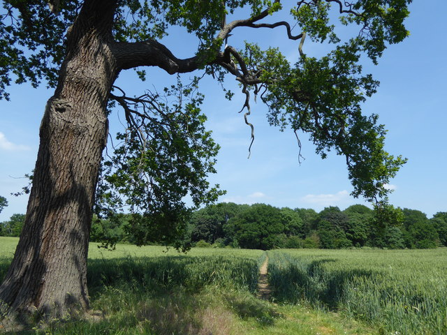
Image: © Marathon Taken: 14 Jun 2017
This is the London LOOP on its away from Havering-atte-Bower to Harold Hill, as it approaches the old woods of Pyrgo Park. When the path reaches the woods it turns right to skirt around them.
Images are licensed for reuse under creativecommons.org/licenses/by-sa/2.0
Image Location
Latitude
51.620976
Longitude
0.19399