Parkland next to Priory Road, Harold Hill
Introduction
The photograph on this page of Parkland next to Priory Road, Harold Hill by Marathon as part of the Geograph project.
The Geograph project started in 2005 with the aim of publishing, organising and preserving representative images for every square kilometre of Great Britain, Ireland and the Isle of Man.

There are currently over 7.5m images from over 14,400 individuals and you can help contribute to the project by visiting https://www.geograph.org.uk
Parkland next to Priory Road, Harold Hill
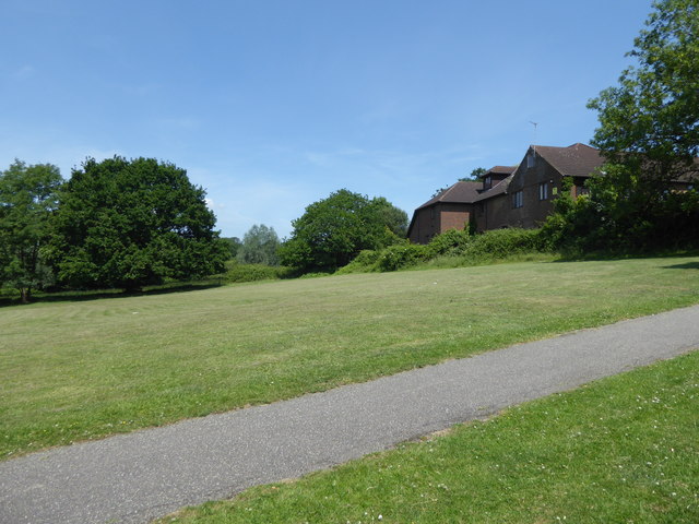
Image: © Marathon Taken: 14 Jun 2017
This is at the northern end of Harold Hill. The grassland slopes down to Carter's Brook which is a tributary of the Ingrebourne River.
Images are licensed for reuse under creativecommons.org/licenses/by-sa/2.0
Image Location
Latitude
51.61618
Longitude
0.224238