Field beside Thorne Lane
Introduction
The photograph on this page of Field beside Thorne Lane by Derek Harper as part of the Geograph project.
The Geograph project started in 2005 with the aim of publishing, organising and preserving representative images for every square kilometre of Great Britain, Ireland and the Isle of Man.

There are currently over 7.5m images from over 14,400 individuals and you can help contribute to the project by visiting https://www.geograph.org.uk
Field beside Thorne Lane
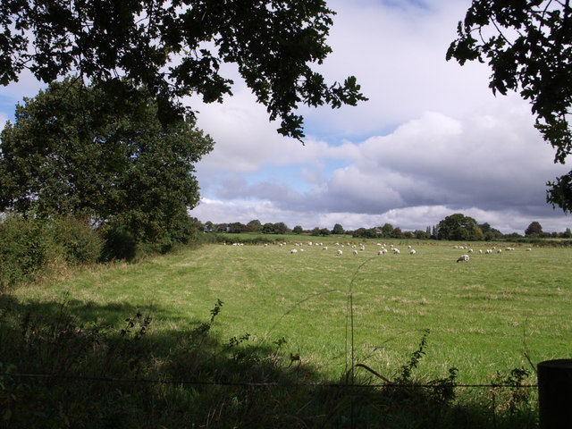
Image: © Derek Harper Taken: 30 Aug 2007
This is the view on the other side of Thorne Lane from Image Fields rise gently away towards Vagg Farm, which is in ST5318.
Images are licensed for reuse under creativecommons.org/licenses/by-sa/2.0
Image Location
Latitude
50.955376
Longitude
-2.667958