The Old School House, Nep Town Road, Nep Town, Henfield
Introduction
The photograph on this page of The Old School House, Nep Town Road, Nep Town, Henfield by Simon Carey as part of the Geograph project.
The Geograph project started in 2005 with the aim of publishing, organising and preserving representative images for every square kilometre of Great Britain, Ireland and the Isle of Man.

There are currently over 7.5m images from over 14,400 individuals and you can help contribute to the project by visiting https://www.geograph.org.uk
The Old School House, Nep Town Road, Nep Town, Henfield
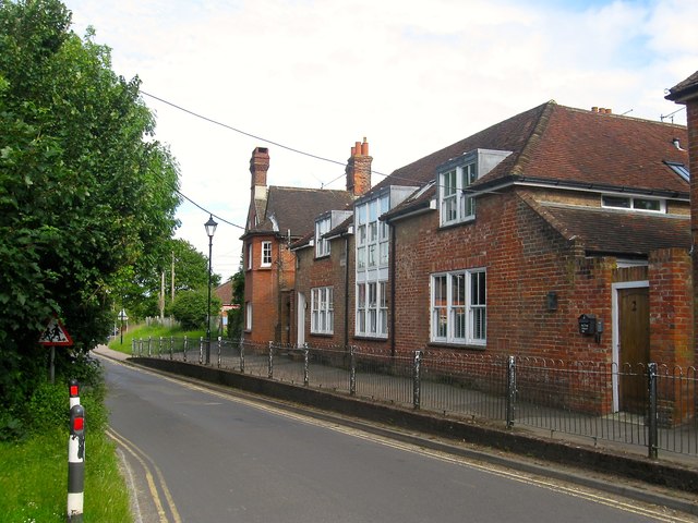
Image: © Simon Carey Taken: 10 Jun 2017
Opened in 1844 as an infants school continuing in operation until the 1960s. It subsequently was used as a youth club until sold around 2003 after which it was converted into two dwellings. A new youth club building was erected in King's Field, see Image
Images are licensed for reuse under creativecommons.org/licenses/by-sa/2.0
Image Location
Latitude
50.92747
Longitude
-0.27539