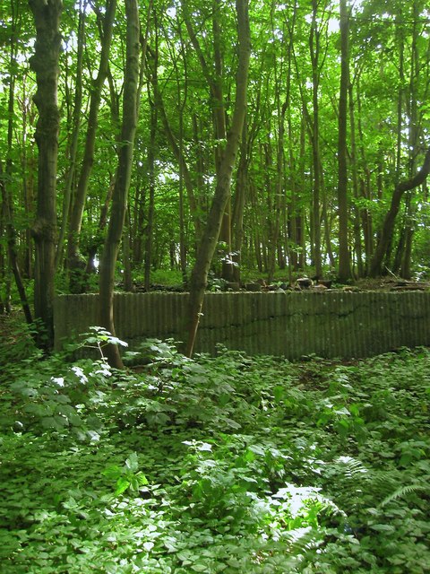
Windmill Hill (2)
Introduction
The photograph on this page of Windmill Hill (2) by Simon Carey as part of the Geograph project.
The Geograph project started in 2005 with the aim of publishing, organising and preserving representative images for every square kilometre of Great Britain, Ireland and the Isle of Man.
There are currently over 7.5m images from over 14,400 individuals and you can help contribute to the project by visiting https://www.geograph.org.uk

Image: © Simon Carey Taken: 10 Jun 2017
Called Mill Hill on Henfield's 1844 tithe map and as the names suggest the site of Nep Town Windmill, also known as Henfield Windmill, that existed here by 1724 and continued in operation until the late 19th century. The post mill was blown down by a gale in 1908. By the end of the 19th century the western side of the hill was being quarried for sand and was extensive enough to require a tramway to link it to the nearby railway. By the end of the 1930s the quarry had been worked out and the hill taken over by a poultry farm which operated until the mid 1960s when the farmer ceased operations after the closure of the railways. It is the foundations of the former poultry sheds that can be seen in the ground. After a stint as a builder's yard the hill has been left alone and colonised by a small woodland. See also Image

