Tombchest, Egloshayle churchyard
Introduction
The photograph on this page of Tombchest, Egloshayle churchyard by Derek Harper as part of the Geograph project.
The Geograph project started in 2005 with the aim of publishing, organising and preserving representative images for every square kilometre of Great Britain, Ireland and the Isle of Man.

There are currently over 7.5m images from over 14,400 individuals and you can help contribute to the project by visiting https://www.geograph.org.uk
Tombchest, Egloshayle churchyard
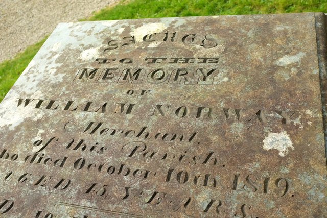
Image: © Derek Harper Taken: 24 Jan 2017
"In memory of William Norway, merchant, who died in 1819 and his wife Mary who died in 1855. Slate tombchest with moulded base and lid" https://historicengland.org.uk/listing/the-list/list-entry/1327984 .
Images are licensed for reuse under creativecommons.org/licenses/by-sa/2.0
Image Location
Latitude
50.512764
Longitude
-4.821316