Lane to Trewollock
Introduction
The photograph on this page of Lane to Trewollock by Derek Harper as part of the Geograph project.
The Geograph project started in 2005 with the aim of publishing, organising and preserving representative images for every square kilometre of Great Britain, Ireland and the Isle of Man.

There are currently over 7.5m images from over 14,400 individuals and you can help contribute to the project by visiting https://www.geograph.org.uk
Lane to Trewollock
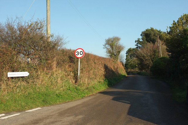
Image: © Derek Harper Taken: 23 Jan 2017
And to Trelispen Camping Park, as the sign on the left points out. This is from the junction shown in Image], looking right.
Images are licensed for reuse under creativecommons.org/licenses/by-sa/2.0
Image Location


Leaflet Map data © OpenStreetMap
Latitude
50.24529
Longitude
-4.800557