Beech tree, rear of Farm Close, Oakdale
Introduction
The photograph on this page of Beech tree, rear of Farm Close, Oakdale by M J Roscoe as part of the Geograph project.
The Geograph project started in 2005 with the aim of publishing, organising and preserving representative images for every square kilometre of Great Britain, Ireland and the Isle of Man.

There are currently over 7.5m images from over 14,400 individuals and you can help contribute to the project by visiting https://www.geograph.org.uk
Beech tree, rear of Farm Close, Oakdale
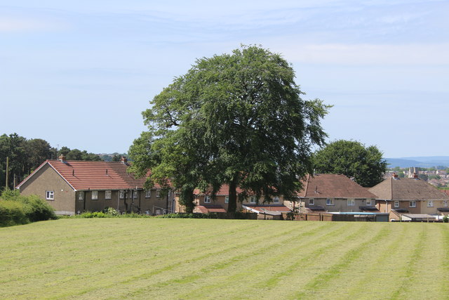
Image: © M J Roscoe Taken: 14 Jun 2017
Beech tree, with oak tree to its left, on the edge of Oakdale Recreation Ground; see Image for an autumnal view.
Images are licensed for reuse under creativecommons.org/licenses/by-sa/2.0
Image Location
Latitude
51.675361
Longitude
-3.181205