Site of Irongray station, Cairn Valley 2000
Introduction
The photograph on this page of Site of Irongray station, Cairn Valley 2000 by Ben Brooksbank as part of the Geograph project.
The Geograph project started in 2005 with the aim of publishing, organising and preserving representative images for every square kilometre of Great Britain, Ireland and the Isle of Man.

There are currently over 7.5m images from over 14,400 individuals and you can help contribute to the project by visiting https://www.geograph.org.uk
Site of Irongray station, Cairn Valley 2000
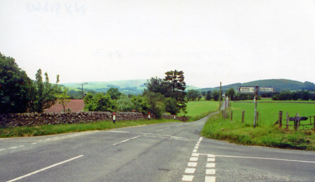
Image: © Ben Brooksbank Taken: 23 Jun 2000
View west; Dumfries right, Moniaive left: the station had been on the left, behind the trees. It was closed for passengers 3/5/43, to goods 4/7/49 when the whole line (a light railway) was abandoned.
Images are licensed for reuse under creativecommons.org/licenses/by-sa/2.0
Image Location
Latitude
55.106076
Longitude
-3.697193