Northern end of the B4269, Llanfoist
Introduction
The photograph on this page of Northern end of the B4269, Llanfoist by Jaggery as part of the Geograph project.
The Geograph project started in 2005 with the aim of publishing, organising and preserving representative images for every square kilometre of Great Britain, Ireland and the Isle of Man.

There are currently over 7.5m images from over 14,400 individuals and you can help contribute to the project by visiting https://www.geograph.org.uk
Northern end of the B4269, Llanfoist
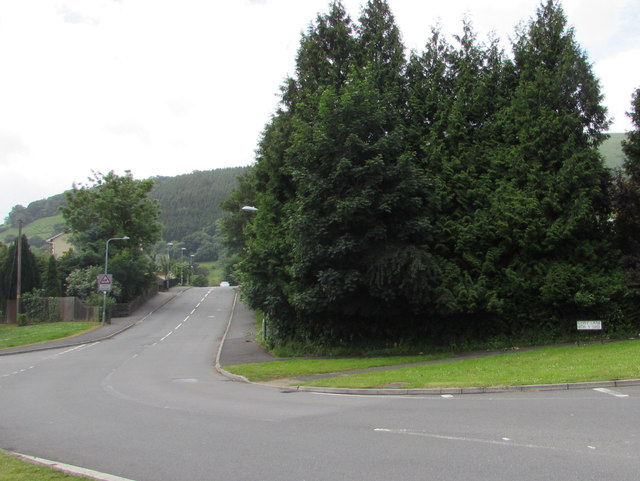
Image: © Jaggery Taken: 11 Jun 2017
The Sabre website states that the B4269 is a short route (1.9 miles (3.1 km)) south of Abergavenny in Monmouthshire connecting the A4042 at Llanellen with the B4246 here in Llanfoist. The road on the right is a few metres from the B4246 junction.
Images are licensed for reuse under creativecommons.org/licenses/by-sa/2.0
Image Location
Latitude
51.813815
Longitude
-3.029892