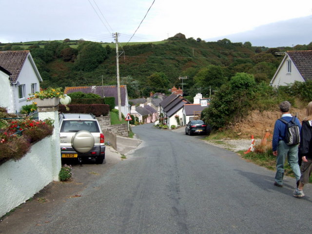
Entering Trewyddel/Moylgrove
Introduction
The photograph on this page of Entering Trewyddel/Moylgrove by Natasha Ceridwen de Chroustchoff as part of the Geograph project.
The Geograph project started in 2005 with the aim of publishing, organising and preserving representative images for every square kilometre of Great Britain, Ireland and the Isle of Man.
There are currently over 7.5m images from over 14,400 individuals and you can help contribute to the project by visiting https://www.geograph.org.uk

Image: © Natasha Ceridwen de Chroustchoff Taken: 31 Aug 2007
The village lies in the deep Cwm Trewyddel valley a mile or so from the sea at Ceibwr Bay: the junction sign seen here indicates the direction. The Welsh name Trewyddel means Irishman's place, suggestive of early visitations from the west, but the English name means Matilda's Grove and dates from Norman settlement. The village retains an English appearance although is linguistically Welsh notwithstanding a large proportion of holiday homes.

