Waterworks House Dingle Lane Sandbach
Introduction
The photograph on this page of Waterworks House Dingle Lane Sandbach by paul sandham as part of the Geograph project.
The Geograph project started in 2005 with the aim of publishing, organising and preserving representative images for every square kilometre of Great Britain, Ireland and the Isle of Man.

There are currently over 7.5m images from over 14,400 individuals and you can help contribute to the project by visiting https://www.geograph.org.uk
Waterworks House Dingle Lane Sandbach
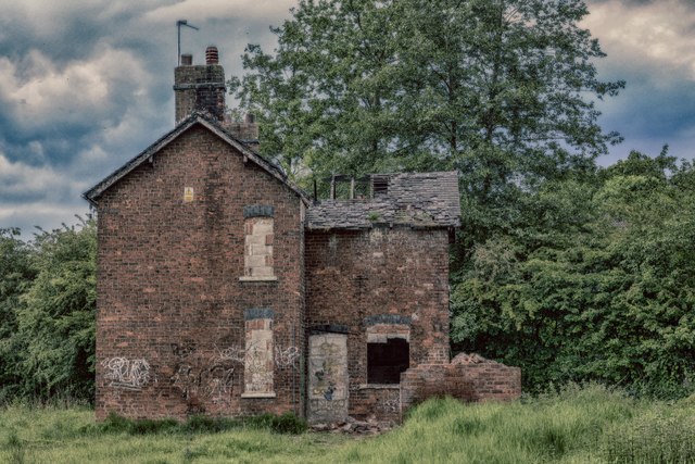
Image: © paul sandham Taken: 14 Jun 2017
Old maps show this area as a waterworks; both the water (abstraction) works here, and the sewage works further downstream, were opened in 1891 at the same time that the Dingle fishing lake was formed.
Images are licensed for reuse under creativecommons.org/licenses/by-sa/2.0
Image Location
Latitude
53.146513
Longitude
-2.354898