Old Water Lane
Introduction
The photograph on this page of Old Water Lane by Graham Hogg as part of the Geograph project.
The Geograph project started in 2005 with the aim of publishing, organising and preserving representative images for every square kilometre of Great Britain, Ireland and the Isle of Man.

There are currently over 7.5m images from over 14,400 individuals and you can help contribute to the project by visiting https://www.geograph.org.uk
Old Water Lane
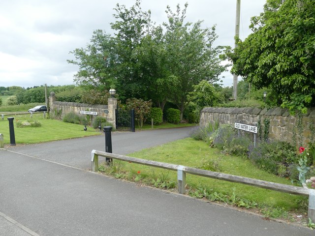
Image: © Graham Hogg Taken: 12 Jun 2017
'New' Water Lane is a few yards to the left, the old lane now providing gated access to a private house but having retained its street signs.
Images are licensed for reuse under creativecommons.org/licenses/by-sa/2.0
Image Location
Latitude
53.155777
Longitude
-1.227864