34, King Street, Carmarthen
Introduction
The photograph on this page of 34, King Street, Carmarthen by Richard Law as part of the Geograph project.
The Geograph project started in 2005 with the aim of publishing, organising and preserving representative images for every square kilometre of Great Britain, Ireland and the Isle of Man.

There are currently over 7.5m images from over 14,400 individuals and you can help contribute to the project by visiting https://www.geograph.org.uk
34, King Street, Carmarthen
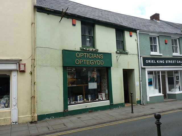
Image: © Richard Law Taken: 30 May 2017
Formerly the Cresselly Arms public house on King Street, and now a commercial property, which dates substantially from the 18th century. The building was given a Grade II listing https://www.britishlistedbuildings.co.uk/300082122-34king-streetsa31-1bs-carmarthen#.WUDaTesrKM8 in 1981, and incorporates a large chunk of the medieval town wall within its cellars.
Images are licensed for reuse under creativecommons.org/licenses/by-sa/2.0
Image Location
Latitude
51.857793
Longitude
-4.304155