Ivy House under wraps, East Molesey
Introduction
The photograph on this page of Ivy House under wraps, East Molesey by Jaggery as part of the Geograph project.
The Geograph project started in 2005 with the aim of publishing, organising and preserving representative images for every square kilometre of Great Britain, Ireland and the Isle of Man.

There are currently over 7.5m images from over 14,400 individuals and you can help contribute to the project by visiting https://www.geograph.org.uk
Ivy House under wraps, East Molesey
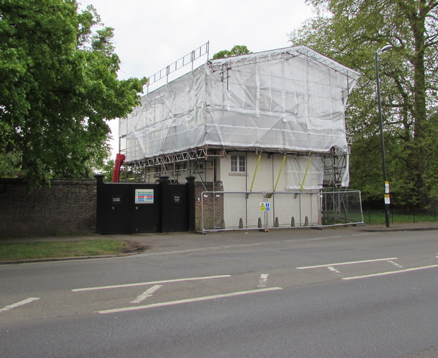
Image: © Jaggery Taken: 29 Apr 2017
On the south side of the A308 Hampton Court Road, viewed in late April 2017. http://www.geograph.org.uk/photo/3234630 to an earlier view of Grade II listed Ivy House.
Images are licensed for reuse under creativecommons.org/licenses/by-sa/2.0
Image Location
Latitude
51.406289
Longitude
-0.334072