House, Sandy Park
Introduction
The photograph on this page of House, Sandy Park by Derek Harper as part of the Geograph project.
The Geograph project started in 2005 with the aim of publishing, organising and preserving representative images for every square kilometre of Great Britain, Ireland and the Isle of Man.

There are currently over 7.5m images from over 14,400 individuals and you can help contribute to the project by visiting https://www.geograph.org.uk
House, Sandy Park
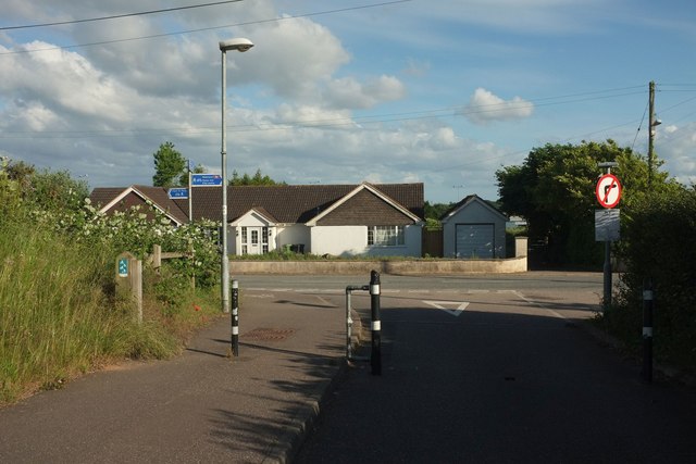
Image: © Derek Harper Taken: 3 Jun 2017
Sandy Park Lodge seen from the access road, shown in Image], to the Exeter Chiefs' stadium and Sandy Park Farm. The road it meets is Old Rydon Lane. Signs indicate foot and cycle routes to Newcourt station (right) and Clyst St Mary.
Images are licensed for reuse under creativecommons.org/licenses/by-sa/2.0
Image Location
Latitude
50.707122
Longitude
-3.468841