Grange burn
Introduction
The photograph on this page of Grange burn by Tom Sargent as part of the Geograph project.
The Geograph project started in 2005 with the aim of publishing, organising and preserving representative images for every square kilometre of Great Britain, Ireland and the Isle of Man.

There are currently over 7.5m images from over 14,400 individuals and you can help contribute to the project by visiting https://www.geograph.org.uk
Grange burn
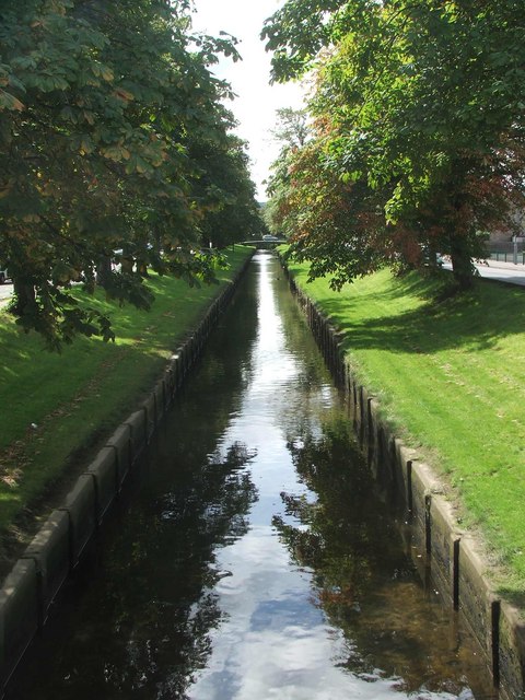
Image: © Tom Sargent Taken: 31 Aug 2007
For human convenience this burn does not flow free but is restricted by artificial banks.
Images are licensed for reuse under creativecommons.org/licenses/by-sa/2.0
Image Location
Latitude
56.015135
Longitude
-3.719529