A379 at Sandy Park
Introduction
The photograph on this page of A379 at Sandy Park by Derek Harper as part of the Geograph project.
The Geograph project started in 2005 with the aim of publishing, organising and preserving representative images for every square kilometre of Great Britain, Ireland and the Isle of Man.

There are currently over 7.5m images from over 14,400 individuals and you can help contribute to the project by visiting https://www.geograph.org.uk
A379 at Sandy Park
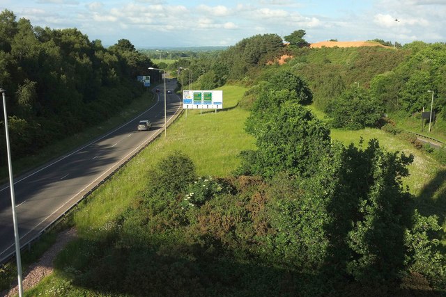
Image: © Derek Harper Taken: 3 Jun 2017
Another view of Image] from the little further south across the Baker Bridge, looking towards Sandy Gate, again with the sandy knoll at or close to the site of the battles of Clyst Heath but https://en.wikipedia.org/wiki/Clyst_Heath .
Images are licensed for reuse under creativecommons.org/licenses/by-sa/2.0
Image Location
Latitude
50.711355
Longitude
-3.468407