Junction on A379
Introduction
The photograph on this page of Junction on A379 by Derek Harper as part of the Geograph project.
The Geograph project started in 2005 with the aim of publishing, organising and preserving representative images for every square kilometre of Great Britain, Ireland and the Isle of Man.

There are currently over 7.5m images from over 14,400 individuals and you can help contribute to the project by visiting https://www.geograph.org.uk
Junction on A379
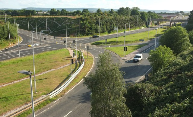
Image: © Derek Harper Taken: 3 Jun 2017
A view from the Baker Bridge of the junction with the entrance to the Exeter Chiefs' rugby ground. The OS maps current as I submit fail to show the links across to the nearer carriageway, indicating that you needed to be on the southwest-bound carriageway to access the ground.
Images are licensed for reuse under creativecommons.org/licenses/by-sa/2.0
Image Location
Latitude
50.710328
Longitude
-3.471349