National Cycle Network Route 411 sign, Tredegar
Introduction
The photograph on this page of National Cycle Network Route 411 sign, Tredegar by Jaggery as part of the Geograph project.
The Geograph project started in 2005 with the aim of publishing, organising and preserving representative images for every square kilometre of Great Britain, Ireland and the Isle of Man.

There are currently over 7.5m images from over 14,400 individuals and you can help contribute to the project by visiting https://www.geograph.org.uk
National Cycle Network Route 411 sign, Tredegar
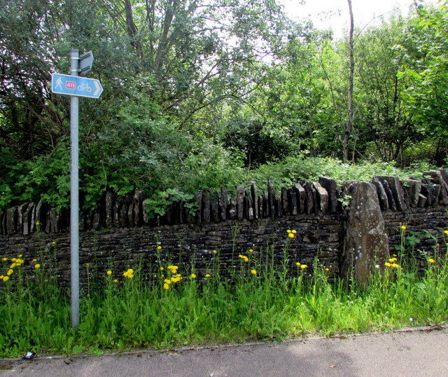
Image: © Jaggery Taken: 1 Jun 2017
Alongside a stone wall on the corner of the access road to Tredegar Business Park and an unnamed road from the A4048 to the town centre. National Cycle Network Route 411 is a short route extending from the edge of Tredegar town centre to Harford Gardens, a distance of about 500 metres.
Images are licensed for reuse under creativecommons.org/licenses/by-sa/2.0
Image Location
Latitude
51.777046
Longitude
-3.243143