Colnbrook Bridge and The Smithy
Introduction
The photograph on this page of Colnbrook Bridge and The Smithy by Robin Webster as part of the Geograph project.
The Geograph project started in 2005 with the aim of publishing, organising and preserving representative images for every square kilometre of Great Britain, Ireland and the Isle of Man.

There are currently over 7.5m images from over 14,400 individuals and you can help contribute to the project by visiting https://www.geograph.org.uk
Colnbrook Bridge and The Smithy
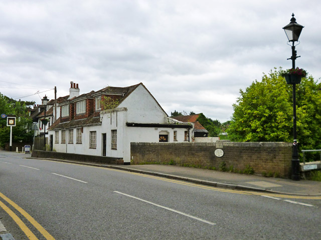
Image: © Robin Webster Taken: 10 Jun 2017
The Smithy building is boarded up. The bridge over the Colne Brook has some interesting features. On the parapets at the centre are stones giving the date, 1777, and the county boundary dividing line between 'Bucks' the near side, and 'Middx', the far side. However, the white plate informs us that in 1993 the bridge was strengthened and refurbished by Surrey County Council. Had they waited a bit, they could have saved some money, as in 1995 Colnbrook was transferred to Berkshire. Soon after, it became part of Slough Unitary Authority. There are not many places that have been in four counties or five county equivalents over the years.
Images are licensed for reuse under creativecommons.org/licenses/by-sa/2.0
Image Location
Latitude
51.482806
Longitude
-0.521247