North along the A4048, Tredegar
Introduction
The photograph on this page of North along the A4048, Tredegar by Jaggery as part of the Geograph project.
The Geograph project started in 2005 with the aim of publishing, organising and preserving representative images for every square kilometre of Great Britain, Ireland and the Isle of Man.

There are currently over 7.5m images from over 14,400 individuals and you can help contribute to the project by visiting https://www.geograph.org.uk
North along the A4048, Tredegar
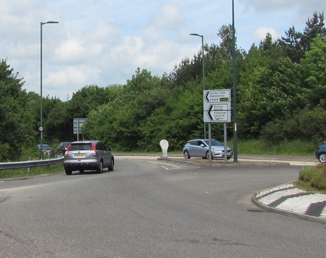
Image: © Jaggery Taken: 1 Jun 2017
Signs on the right show ahead along the A4048 for Merthyr Tydfil and Abergavenny. Nearer locations ahead are Sirhowy, Ashvale, Dukestown Industrial Estates.
Images are licensed for reuse under creativecommons.org/licenses/by-sa/2.0
Image Location
Latitude
51.778489
Longitude
-3.242748