Ruined Building at Stone House Fold
Introduction
The photograph on this page of Ruined Building at Stone House Fold by Chris Heaton as part of the Geograph project.
The Geograph project started in 2005 with the aim of publishing, organising and preserving representative images for every square kilometre of Great Britain, Ireland and the Isle of Man.

There are currently over 7.5m images from over 14,400 individuals and you can help contribute to the project by visiting https://www.geograph.org.uk
Ruined Building at Stone House Fold
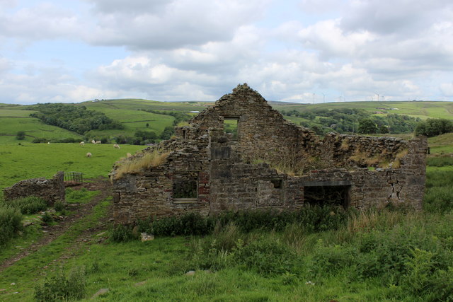
Image: © Chris Heaton Taken: 7 Jun 2017
Passed by the Pennine Bridleway National Trail and Burnley Way long distance footpath
Images are licensed for reuse under creativecommons.org/licenses/by-sa/2.0
Image Location
Latitude
53.755205
Longitude
-2.206225