Bishop's Way, Exeter
Introduction
The photograph on this page of Bishop's Way, Exeter by Derek Harper as part of the Geograph project.
The Geograph project started in 2005 with the aim of publishing, organising and preserving representative images for every square kilometre of Great Britain, Ireland and the Isle of Man.

There are currently over 7.5m images from over 14,400 individuals and you can help contribute to the project by visiting https://www.geograph.org.uk
Bishop's Way, Exeter
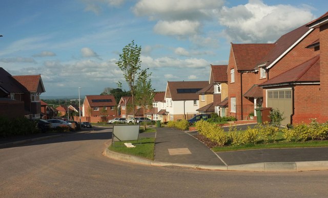
Image: © Derek Harper Taken: 3 Jun 2017
The western extremity, for the moment, anyway, of the main artery of this housing estate largely built in the disused Bishop's Court sandstone quarry. the other end of the road is shown in Image View from the path shown in Image], looking left.
Images are licensed for reuse under creativecommons.org/licenses/by-sa/2.0
Image Location
Latitude
50.711957
Longitude
-3.470551