Apple Lane
Introduction
The photograph on this page of Apple Lane by Derek Harper as part of the Geograph project.
The Geograph project started in 2005 with the aim of publishing, organising and preserving representative images for every square kilometre of Great Britain, Ireland and the Isle of Man.

There are currently over 7.5m images from over 14,400 individuals and you can help contribute to the project by visiting https://www.geograph.org.uk
Apple Lane
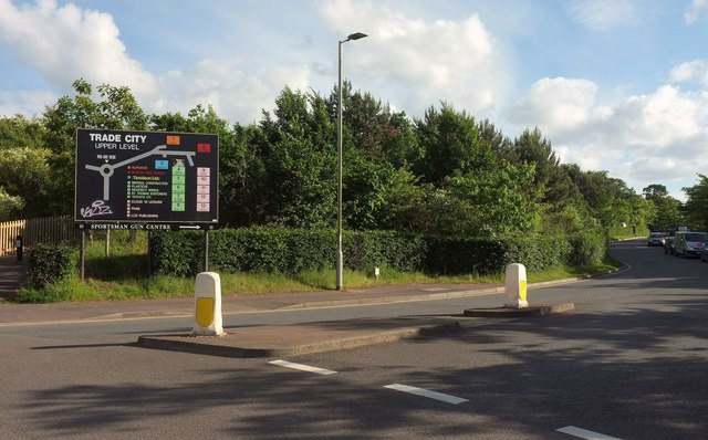
Image: © Derek Harper Taken: 3 Jun 2017
Actually most of the roads and cul-de-sacs around here, not to mention footpaths, seem to be called Apple Lane. This branch leads to "Trade City upper level".
Images are licensed for reuse under creativecommons.org/licenses/by-sa/2.0
Image Location
Latitude
50.713849
Longitude
-3.470326