Road junction - A46, Caistor, Lincs
Introduction
The photograph on this page of Road junction - A46, Caistor, Lincs by John Beal as part of the Geograph project.
The Geograph project started in 2005 with the aim of publishing, organising and preserving representative images for every square kilometre of Great Britain, Ireland and the Isle of Man.

There are currently over 7.5m images from over 14,400 individuals and you can help contribute to the project by visiting https://www.geograph.org.uk
Road junction - A46, Caistor, Lincs
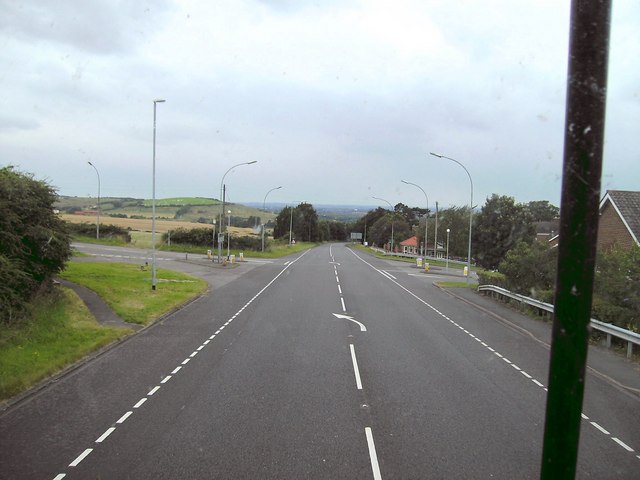
Image: © John Beal Taken: 18 Aug 2007
Whitegate Hill may be climbed by turning left at this junction; right leads into Caistor.
Images are licensed for reuse under creativecommons.org/licenses/by-sa/2.0
Image Location
Latitude
53.493967
Longitude
-0.312923