Former quarry, Bishop's Way, Exeter
Introduction
The photograph on this page of Former quarry, Bishop's Way, Exeter by Derek Harper as part of the Geograph project.
The Geograph project started in 2005 with the aim of publishing, organising and preserving representative images for every square kilometre of Great Britain, Ireland and the Isle of Man.

There are currently over 7.5m images from over 14,400 individuals and you can help contribute to the project by visiting https://www.geograph.org.uk
Former quarry, Bishop's Way, Exeter
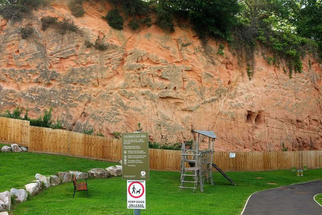
Image: © Derek Harper Taken: 3 Jun 2017
The new red sandstone cliff now forms a backdrop to a play area. The path links the new housing shown in Image] to the Sidmouth Road close to a handy bus stop and the Park and Ride. See also Image
Images are licensed for reuse under creativecommons.org/licenses/by-sa/2.0
Image Location
Latitude
50.714131
Longitude
-3.469344