Masonry remains of a railway bridge near The Cutting, Llanfoist
Introduction
The photograph on this page of Masonry remains of a railway bridge near The Cutting, Llanfoist by Jaggery as part of the Geograph project.
The Geograph project started in 2005 with the aim of publishing, organising and preserving representative images for every square kilometre of Great Britain, Ireland and the Isle of Man.

There are currently over 7.5m images from over 14,400 individuals and you can help contribute to the project by visiting https://www.geograph.org.uk
Masonry remains of a railway bridge near The Cutting, Llanfoist
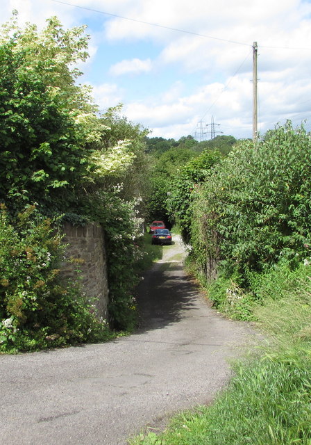
Image: © Jaggery Taken: 11 Jun 2017
In June 2017, the stone remains of bridge supports are on both sides of a side road descending from the cul-de-sac named The Cutting. Old maps show a railway line here. It was part of the line from Abergavenny to Brynmawr, long since closed and dismantled.
Images are licensed for reuse under creativecommons.org/licenses/by-sa/2.0
Image Location
Latitude
51.814506
Longitude
-3.033099