New Hall Lane, Small Dole
Introduction
The photograph on this page of New Hall Lane, Small Dole by Simon Carey as part of the Geograph project.
The Geograph project started in 2005 with the aim of publishing, organising and preserving representative images for every square kilometre of Great Britain, Ireland and the Isle of Man.

There are currently over 7.5m images from over 14,400 individuals and you can help contribute to the project by visiting https://www.geograph.org.uk
New Hall Lane, Small Dole
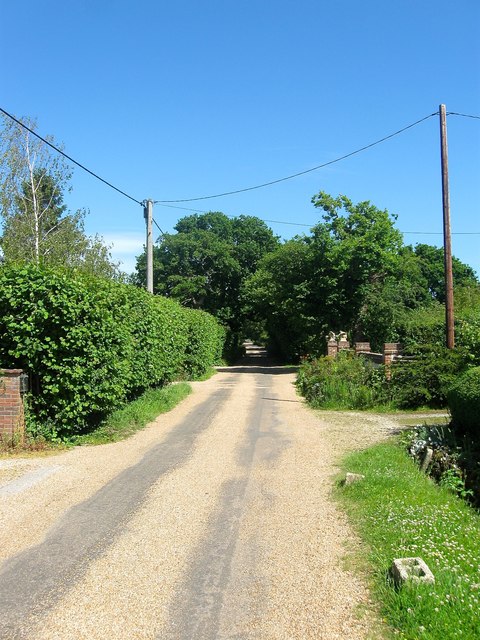
Image: © Simon Carey Taken: 10 Jun 2017
An old access road linking what is now the A2037 to New Hall. Development began between the wars and has now largely been completed except for a small area of farmland at the western end.
Images are licensed for reuse under creativecommons.org/licenses/by-sa/2.0
Image Location
Latitude
50.906183
Longitude
-0.277172