Widening the M5 motorway, Norton
Introduction
The photograph on this page of Widening the M5 motorway, Norton by Philip Halling as part of the Geograph project.
The Geograph project started in 2005 with the aim of publishing, organising and preserving representative images for every square kilometre of Great Britain, Ireland and the Isle of Man.

There are currently over 7.5m images from over 14,400 individuals and you can help contribute to the project by visiting https://www.geograph.org.uk
Widening the M5 motorway, Norton
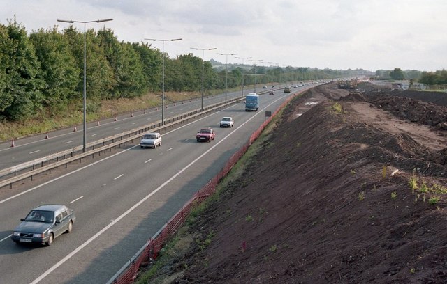
Image: © Philip Halling Taken: Unknown
View to the south of the M5 motorway during roadworks to widen the motorway to three lanes, here it is viewed from the bridge near Hatfield.
Images are licensed for reuse under creativecommons.org/licenses/by-sa/2.0
Image Location
Latitude
52.151097
Longitude
-2.191854